Live

Easy & Powerful Farm Earthworks Design

The Leading Farm Earthworks Design App for Drainage, Irrigation & Erosion
  • Import, Design & Export With Ease
  • Save Up To 80% in Earthworks Over Traditional Methods
  • Based On Experience From Over 2.5 Million Acres Worldwide*
Get started FREE
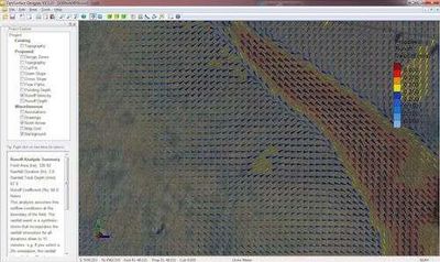
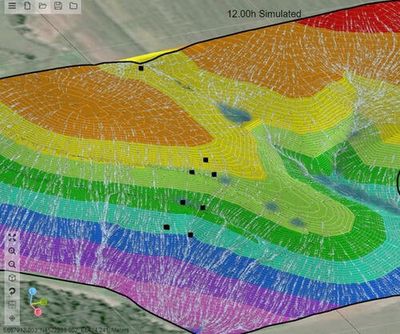
AgEarth water flow simulation over a field design

Compatible With These Machines & GPS

Trimble, AMW, John Deere, CASE and New HollandJohn Deere Operations Center Connected

AgEarth features

Landform Design

Create surface designs to suit all types of farming:

  • Rainfed Drainage
  • Irrigation Drainage (Drip, Pivot, Lateral Move, Sprinkler)
  • Furrow/Bay Irrigation
  • And more
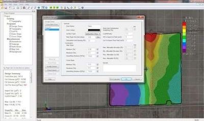
Landform design settings beside a field cut/fill map

Erosion Design

Create designs to eliminate erosion such as:
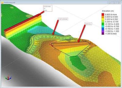
  • Terraces/Dry Dams
  • Graded Contour Banks
  • Waterways
3D view of a terrace and dry dam design

Drain & Road Design

Create designs for linear features such as:
  • Ditch networks
  • Levees
  • Roads, etc
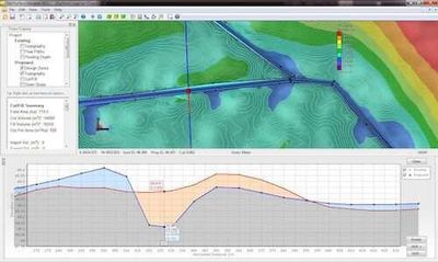
Drain network plan with a long-section profile

Reservoir Design

  • Design embankments of any shape with automatic calculation of batters
  • Calculate earthworks volumes and automatically rebalance
  • Calculate storage volume curves
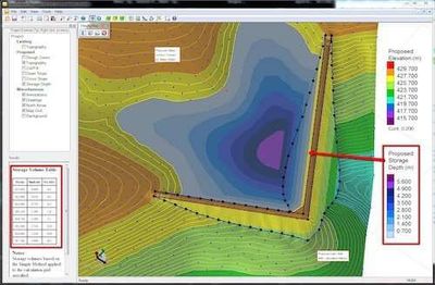
Reservoir embankment design with volume table

More Design Power

  • Balance earthworks across a field & subzones, not just in strips
  • Add Subzones to produce refined designs
  • Work with multiple fields at the same time to perform whole farm design
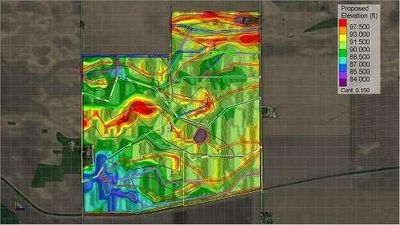
Whole-farm design across several fields

OptiHaul Analysis

Unique analysis shows:

  • Optimal paths to haul earth
  • Easy to interpret for inexperienced operators
  • Save even more costs reducing machine hours
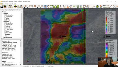
OptiHaul map showing earth haul paths

Flow Analysis

Animated simulations to show:

  • Water Flow Paths
  • Depressions
  • Effects of furrow/bed and traffic
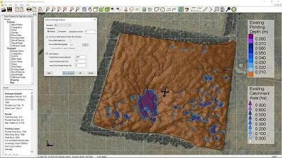
Flow analysis showing depressions on a field

Storm Analysis

Exclusive simulation technology:

  • Applies a 1-in-10 year storm event to your field
  • Maps of runoff depth & velocity to highlight areas of erosion risk
  • Use before and after erosion control designs to show where problems will be and how they are mitigated
Storm runoff velocity map

Beautiful Reports

Automatically generate reports:

  • PDF Design Reports
  • Google Earth Overlays
  • Cloud Link (Online Sharing)
  • AgEarth Mobile (iOS & Android Devices)
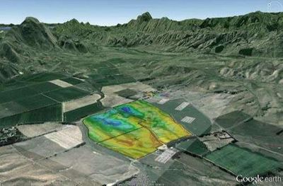
Design shown as a Google Earth overlay

Seamless Transfer

  • Import surveys from most RTK GPS systems.
  • Export to most 3D machine control systems.
  • Export to most tractor steering guidance systems.
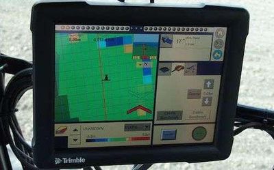
Trimble in-cab display running a design

Celebrating 2.5 Million Acres Worldwide*

* AgEarth's older brother is OptiSurface Designer which has been used to design over 2.5 million acres.

From the team behind OptiSurface

Get started with AgEarth. It's free.

Questions

Can I get started with AgEarth for free?

Yes. Signing up is free.

Do I need a separate account for each Ag.Zone app?

No. One free Ag.Zone account works across every Ag.Zone app.

Anything else? Email support@ag.zone.

Start using AgEarth today

Get started FREE